LPA may affect Visayas, Mindanao during Cebu hosting of ASEAN Summit
MANILA, Philippines – Two low pressure areas (LPAs) formed outside the Philippine Area of Responsibility (PAR) on Monday, May 4, one of which could affect portions of the Visayas and Mindanao in a few days, just as the country will be hosting a major summit of Southeast Asian leaders in Cebu province.
One of the LPAs, closer to PAR, was last spotted 1,185 kilometers east of northeastern Mindanao at 8 pm on Monday.
This LPA could enter PAR by Tuesday, May 5, according to the Philippine Atmospheric, Geophysical, and Astronomical Services Administration (PAGASA).
It is unlikely to develop into a tropical depression within 24 hours, but PAGASA said it may trigger rain in the Visayas and Mindanao starting Thursday, May 7.
The province of Cebu, which will welcome the Association of Southeast Asian Nations for the 48th ASEAN Summit and Related Meetings from Wednesday, May 6, to Friday, May 8, could be among the affected areas.
PAGASA Weather Specialist Daniel James Villamil said floods and landslides are possible.
Meanwhile, the second LPA was located 2,650 kilometers east of northeastern Mindanao as of 8 pm on Monday.
It has a medium chance of becoming a tropical depression in the next 24 hours, and could enter PAR on Saturday, May 9, or Sunday, May 10.
So far, this potential tropical cyclone is expected to move generally northwest before recurving toward Japan. This means it may stay offshore and far from Philippine landmass.
The next tropical cyclone name on PAGASA’s list is Caloy.
The weather bureau estimates that one or two tropical cyclones could form within or enter PAR in May.
While tropical cyclones are not as frequent during the country’s warm and dry season from late March to May, they can still occur. Tropical cyclone averages are 0.3 for March, 0.5 for April, and 0.9 for May, based on PAGASA data from 1948 to 2024.
Within the second half of May or the first half of June, the rainy season is expected to begin. – Rappler.com

You May Also Like
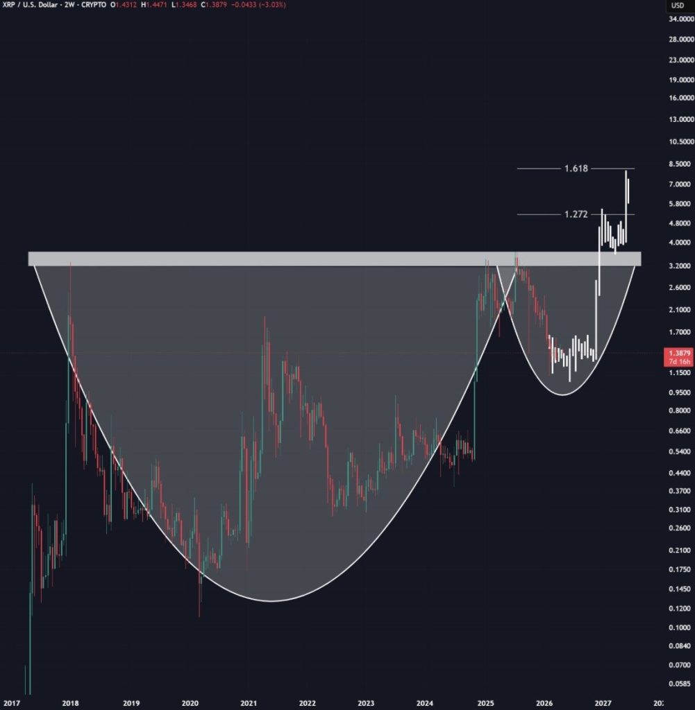
They Called XRP Dead, But These Charts Say Otherwise

Top 6 Crypto PR Agencies for AI and Agentic Web3 Projects in 2026